Select a link below to proceed to the login screen.

Passwords are required. For Staff only.


County of Frontenac

North Frontenac

Central Frontenac

South Frontenac

Frontenac Islands

Map Gallery


Custom Mapping Services


The County of Frontenac provides custom mapping services for unique and challenging projects. Check out ourGIS Fees to determine the cost of our various mapping products and services. To discuss potential projects with our GIS staff please use the contact information found at the bottom of the page.


Featured Maps


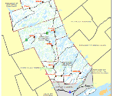
County of Frontenac

details   | open PDF
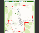
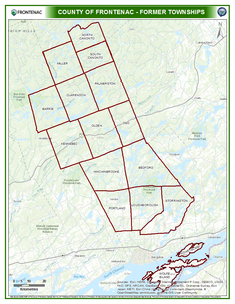
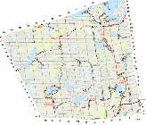
This pdf map shows the County of Frontenac boundary, along with the boundaries of Townships within and surrounding the County of Frontenac.

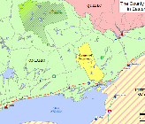
Frontenac in Eastern Ontario

details   | open PDF
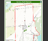
This pdf map shows the County of Frontenac in its location relative to the rest of Eastern Ontario.

County Proximity Map

details   | open PDF

This pdf map shows distances from the City of Kingston.

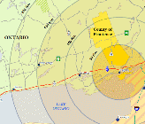
County Office Directions

details   | open PDF

This pdf map provides directions to the County of Frontenac Office from the 401 Highway.


Lot / Concession Maps by Geographic Township


NF - Barrie

details   | Open PDF

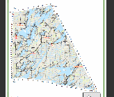
Lots and Concession Map for the geographic township of Barrie, located in Ward 1 of the Township of North Frontenac.

NF - Clarendon

details   | Open PDF

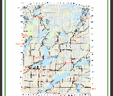
Lots and Concession Map for the geographic township of Clarendon, located in Ward 2 of the Township of North Frontenac.

NF - Miller

details   | Open PDF

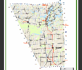
Lots and Concession Map for the geographic township of Miller, located in Ward 2 of the Township of North Frontenac.

NF - North Canonto

details   | Open PDF

Lots and Concession Map for the geographic township of North Canonto, located in Ward 3 of the Township of North Frontenac.

NF - Palmerston

details   | Open PDF

Lots and Concession Map for the geographic township of Palmerston, located in Ward 3 of the Township of North Frontenac.

NF - South Canonto

details   | Open PDF

Lots and Concession Map for the geographic township of South Canonto, located in Ward 3 of the Township of North Frontenac.

CF - Hinchinbrooke

details   | Open PDF

Lots and Concession Map for the geographic township of Hinchinbrooke, Ward 4, of the Township of Central Frontenac.

CF - Kennebec

details   | Open PDF

Lots and Concession Map for the geographic township of Kennebec, Ward 1, of the Township of Central Frontenac.

CF - Olden

details   | Open PDF

Lots and Concession Map for the geographic township of Olden, Ward 2, of the Township of Central Frontenac.

CF - Oso

details   | Open PDF

Lots and Concession Map for the geographic township of Oso, Ward 3, of the Township of Central Frontenac.

SF - Bedford

details   | Open PDF

Lots and Concession Map for the geographic township of Bedford (District of Bedford) in the Township of South Frontenac.

SF - Loughborough

details   | Open PDF

Lots and Concession Map for the geographic township of Loughborough (District of Loughborough) in the Township of South Frontenac.

SF - Portland

details   | Open PDF

Lots and Concession Map for the geographic township of Portland (District of Portland) in the Township of South Frontenac.

FI - Howe Island

details   | Open PDF

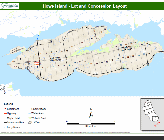
Lots and Concession Map for the geographic township of Howe Island in the Township of Frontenac Islands.

FI - Wolfe Island

details   | Open PDF

Lots and Concession Map for the geographic township of Wolfe Island in the Township of Frontenac Islands.


Hamlet Maps


NF - Ompah

details   | Open PDF

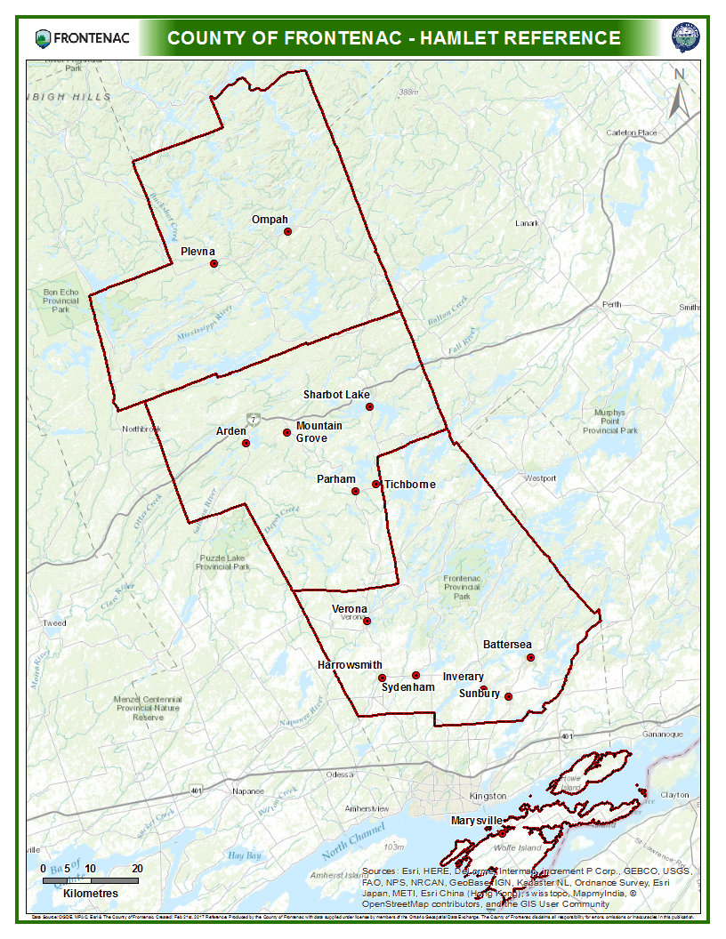
Hamlet Map for Ompah, located in Palmerston, Ward 3, of the Township of North Frontenac.

NF - Plevna

details   | Open PDF

Hamlet Map for Plevna, located in Clarendon, Ward 2, of the Township of North Frontenac.

CF - Arden

details   | Open PDF

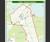
Hamlet Map for Arden, located in Kennebec, Ward 1, of the Township of Central Frontenac.

CF - Mountain Grove

details   | Open PDF

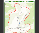
Hamlet Map for Mountain Grove, located in Olden, Ward 2, of the Township of Central Frontenac.

CF - Parham

details   | Open PDF

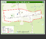
Hamlet Map for Parham, located in Hinchinbrooke, Ward 4, of the Township of Central Frontenac.

CF - Sharbot Lake

details   | Open PDF

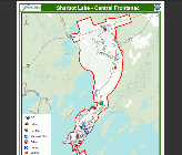
Hamlet Map for Sharbot Lake, located in Oso, Ward 3, of the Township of Central Frontenac.

CF - Tichborne

details   | Open PDF

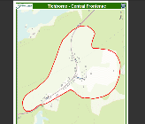
Hamlet Map for Tichborne, located in Oso, Ward 3, of the Township of Central Frontenac.

SF - Battersea

details   | Open PDF

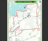
Hamlet Map for Battersea, located in the District of Storrington, of the Township of South Frontenac.

SF - Harrowsmith

details   | Open PDF

Hamlet Map for Harrowsmith, located in the District of Portland, of the Township of South Frontenac.

SF - Inverary

details   | Open PDF

Hamlet Map for Inverary, located in the District of Storrington, of the Township of South Frontenac.

SF - Sunbury

details   | Open PDF

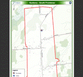
Hamlet Map for Sunbury, located in the District of Loughborough, of the Township of South Frontenac.

SF - Sydenham

details   | Open PDF

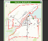
Hamlet Map for Sydenham, located in the District of Loughborough, of the Township of South Frontenac.

SF - Verona

details   | Open PDF

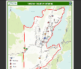
Hamlet Map for Verona, located in the District of Portland, of the Township of South Frontenac.

FI - Marysville

details   | Open PDF

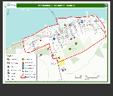
Hamlet Map for Marysville, located on Wolfe Island in the Township of the Frontenac Islands.


Points of Interest Maps


Accommodations

details   | Open PDF

Map of Accommodations throughout the County of Frontenac.

Ambulance Bases

details   | Open PDF

Map of Ambulance Bases throughout the County of Frontenac.

Baseball Diamonds

details   | Open PDF

Map of Baseball Diamonds throughout the County of Frontenac.

Boat Launches

details   | Open PDF

Map of Boat Launches throughout the County of Frontenac.

Fire Stations

details   | Open PDF

Map of Fire Stations throughout the County of Frontenac.

Fuel Stations

details   | Open PDF

Map of Fuel Stations throughout the County of Frontenac.

Golf Courses

details   | Open PDF

Map of Golf Courses throughout the County of Frontenac.

Libraries

details   | Open PDF

Map of Libraries throughout the County of Frontenac.

Municipal Offices

details   | Open PDF

Map of Municipal Offices throughout the County of Frontenac.

Police Stations

details   | Open PDF

Map of Police Stations throughout the County of Frontenac.

Restaurants

details   | Open PDF

Map of Restaurants throughout the County of Frontenac.

Schools

details   | Open PDF

Map of Schools throughout the County of Frontenac.

Waste Sites

details   | Open PDF

Map of Waste Sites throughout the County of Frontenac.


County of Frontenac Official Plan Basis Document Maps


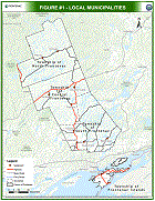
Figure #1 - Local Municipalities

details   | Open PDF

Map of Local Municipalities within the County of Frontenac.

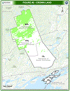
Figure #2 - Crown Land

details   | Open PDF

Map of Crown Land coverage throughout the County of Frontenac.

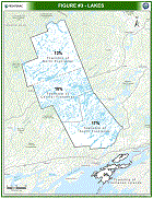
Figure #3 - Lakes

details   | Open PDF

Map of Lake coverage throughout the County of Frontenac.

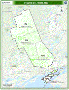
Figure #4 - Wetland

details   | Open PDF

Map of Wetland coverage throughout the County of Frontenac.

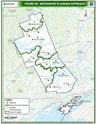
Figure #5 - Watershed Approach

details   | Open PDF

Map showing the Watershed Planning Approach for the County of Frontenac Official Plan.


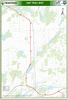
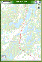
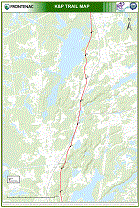
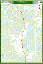
Frontenac K&P Trail Maps


Kingston Urban Trail

details   | Open PDF

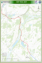
Map of the Frontenac K&P Trail.

Kingston Rural Trail

details   | Open PDF

Map of the Frontenac K&P Trail.

Orser Rd to Harrowsmith

details   | Open PDF

Map of the Frontenac K&P Trail.

Harrowsmith to Verona

details   | Open PDF

Map of the Frontenac K&P Trail.

Verona to White Lake Rd

details   | Open PDF

Map of the Frontenac K&P Trail.

White Lake Rd to Tichborne

details   | Open PDF

Map of the Frontenac K&P Trail.

Tiichborne to Sharbot Lake

details   | Open PDF

Map of the Frontenac K&P Trail.

Sharbot Lake to Clarendon Station

details   | Open PDF

Map of the Frontenac K&P Trail.

K&P Trail Maps - Full Package

details   | Open PDF

Maps of the Frontenac K&P Trail.


Lake Bathymetry Maps


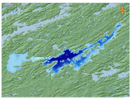
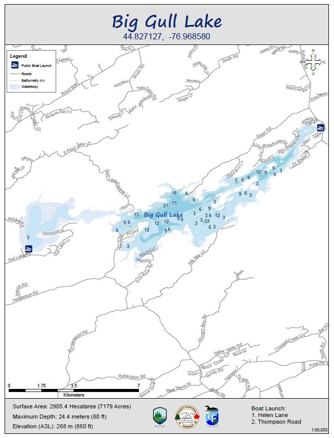
Big Gull Lake - Bathymetry

details   | Open PDF

Bathymetry map of Big Gull Lake.

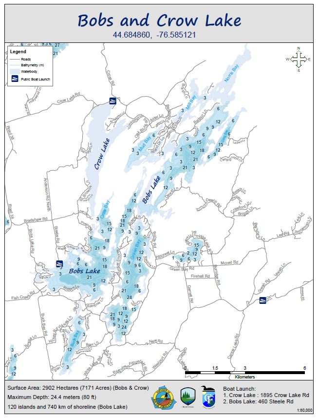
Bobs and Crow Lake - Bathymetry

details   | Open PDF

Bathymetry map of Bobs and Crow Lake.

Sydenham Lake

details   | Open PDF

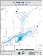
Bathymetry map of Sydenham Lake.

Upper and Lower Mazinaw Lake

details   | Open PDF

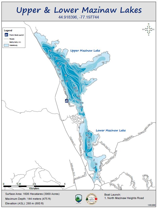
Bathymetry map of upper and lower Mazinaw Lake.


Please read our Terms of Use.

TERMS OF USE:


Welcome to the County of Frontenacs Interactive Map Viewer Web Site. This Web Site is available to residents, guests and businesses seeking more information about the County of Frontenac. By entering the following map viewer, you are in agreement with the contents of the following disclaimer:


Disclaimer of Liability


This website is for personal and non-commercial use only.


The County of Frontenac or its employees shall not be liable for:


  • any errors, omissions, commissions or inaccuracies in the information provided in the County of Frontenacs Interactive Map Viewer, regardless of how caused;
  • any decision made or action taken or not taken by any user in reliance upon any information or data furnished hereunder; or
  • any direct, indirect, incidental, consequential, or punitive damages, or any other losses, costs or expenses of any kind which may arise, directly or indirectly from use of, or inability to use, this Web Site.

The user knowingly waives any claims for damages against any entities comprising the County of Frontenacs Interactive Map Viewer Web Site that may arise from the mapping data. All data, map images and related graphics contained on this Web Site are protected by copyright and remain the property of the County of Frontenac.


These maps are intended for general reference only and shall not be interpreted as a legal survey and shall not be used to establish legal lot sizes or dimensions. These maps should not be used for navigation.


Users may not re-sell, sublicense, or operate a service bureau using the County of Frontenac Interactive Map Viewer, or otherwise reproduce, publish or disseminate the web maps for commercial purposes, without the prior written consent of the County of Frontenac.


Includes Material © 2014 of the Queen's Printer for Ontario. All Rights Reserved.


Links to External Web Sites


Links within the County of Frontenacs Interactive Map Viewer may allow external web sites to be accessed from this Web Site. These external web site links are provided as a convenience to the end user. The County of Frontenac has not reviewed any of these external web sites and is not responsible for them or their content or any results that may be obtained from using them. The County of Frontenac does not endorse or make any representations about these external web sites, or any information or products found there. Should the end user choose to access any of the third party web sites linked to this Web Site, they do so at their own risk.


Revisions and Consents


The County of Frontenac reserves the right to revise these Terms and Conditions at any time for any reason. The County of Frontenac also reserves the right to make changes to any of the information or services contained on or offered through this Web Site at any time, without notice or obligation. By using this Interactive Map Viewer, the user acknowledges and agrees to be bound by any such revisions. Accordingly, the user agrees to visit this page periodically to review these Terms and Conditions.


By using this website you acknowledge and accept these terms.
© Frontenac Maps | County of Frontenac